Pochůzka
Leaflet rounds and field checks you can actually track — districts divide themselves and the map shows what is done.
The starting point
Delivering a newsletter or ballot papers is run off a list of streets on paper. When a complaint arrives that nothing reached a particular letterbox, there is nothing to show who went where.
What Webstrong built
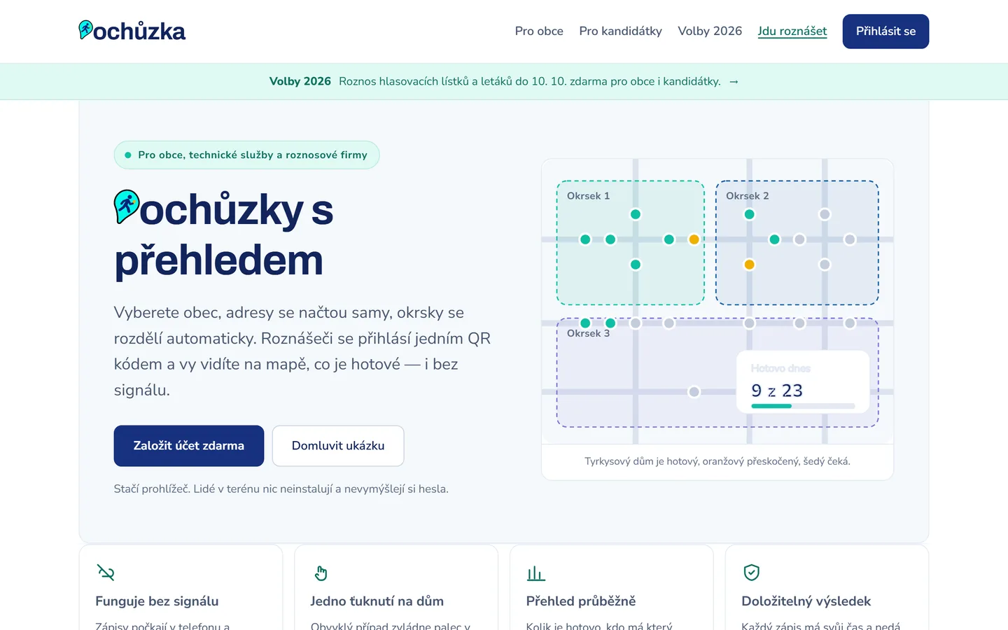
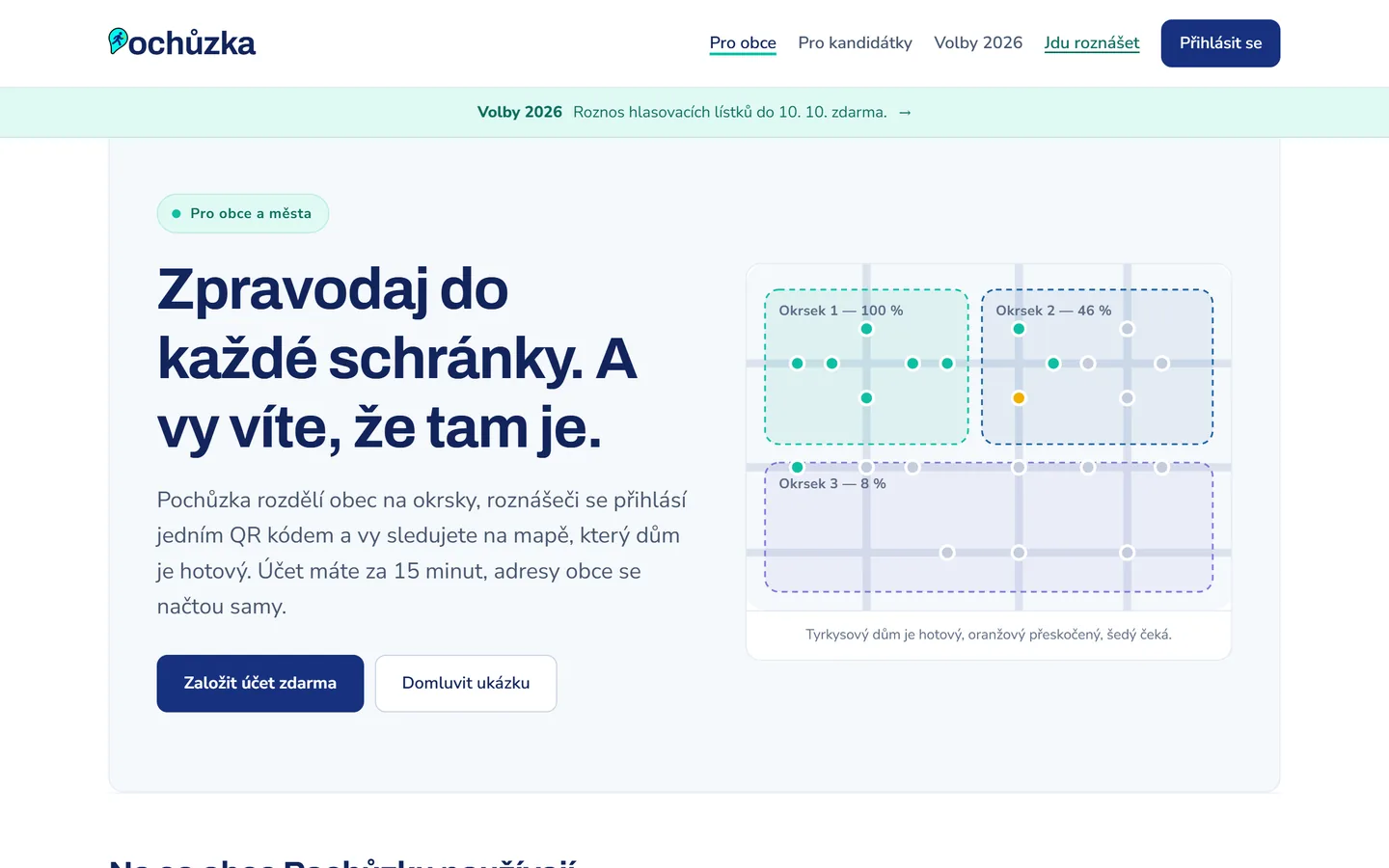
The app pulls a whole municipality's addresses from the RÚIAN register, proposes districts of roughly equal size and keeps streets together. Deliverers sign in with a single QR code — nothing to install, no passwords to invent — mark a house with one tap, and entries wait on the phone until there is a signal. The dispatcher follows progress on the map, and a closed round remains as the record.
Who it's for
Municipalities and towns, technical services, election candidates and delivery companies.
Key features
- Address points for a whole municipality from the RÚIAN register, or your own CSV and GeoJSON
- Districts proposed automatically, then redrawn by hand if needed
- Deliverers sign in with one QR code — no passwords, nothing to install
- Works with no signal — entries send as soon as there is a connection
- Progress by district and by individual street, on the map
- A closed round stands as the record for management, councillors and invoicing